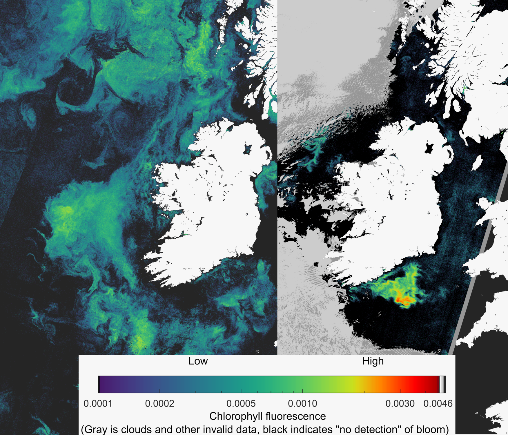
The aim of this project is to enhance Ireland’s capacity in the use of remote sensing imagery from satellites to provide policy relevant data and evidence in support of Ireland’s obligations under the Marine Strategy Framework Directive (MSFD), Marine Spatial Planning (MSP) Directive and commitments to international conventions including the Oslo Paris Convention (OSPAR) and the International Council for the Exploration of the Seas (ICES).
The objectives of this project are to:
Harness the advances made in high resolution and hyperspectral satellite data collected as part of the EU Copernicus programme to provide Ireland with underpinning data for MSFD and MSP reporting.
Contribute to the work of OSPAR contracting parties in regional assessments of eutrophication, ocean acidification and water quality in the OSPAR region. The project will:
- Build human capacity in the utilisation of Copernicus Sentinel 2 satellite data
- Train a PhD student in the use of these data sets and their appropriate application to policy questions.
- Develop the data processing and quality management framework to support the routine utilisation and uptake of satellite products in national decision making.
- Co-develop satellite products with European member states working on common issues of concern through OSPAR, MSFD and ICES.
- Ensure data are available publicly through easily accessible user interfaces.
This project will ensure that up-to-date marine climate and ecosystem model outputs are available to help fulfil national and European climate policies, including the Climate Action Plan and the NMPF. Increased capacity in this area will improve marine knowledge about the impacts of climate change.
This project will run for 5 years from 2023 to 2027.
- Better understanding of the impacts of Climate Change
- Improving accessibility, understanding and utility of marine data and knowledge
- Increase inter-agency cooperation and information sharing at national, EU and international level, together with industry and research collaboration.
- Capacity building
- General public better informed about climate risks, resilience and adaptation
Email: glenn.nolan@marine.ie
- Data system developed and available to harness and utilise high resolution Copernicus satellite to support policy objectives.
- Human capacity developed to support the ongoing use of satellite data sets.
- Collaborative network with European member states working on issues of common interest.
- Public-facing portal enhancing uptake of satellite products for decision and policy support.

